News
NatureMaps launched, interactive mapping for Citizen Science projects
Citizen Science - projects, outputs and useful resources
Citizen scientists are making great contributions to our knowledge of the natural and physical world. This site is a showcase for New Zealand projects that you may like to explore, use, or contribute.
Thanks to the TSB Community Trust for supporting this initiative

This Curious Minds Public Participatory Platform project compared two restoration sites, one at Nowells Lakes, the other at Rotokare Scenic Reserve.
![]()

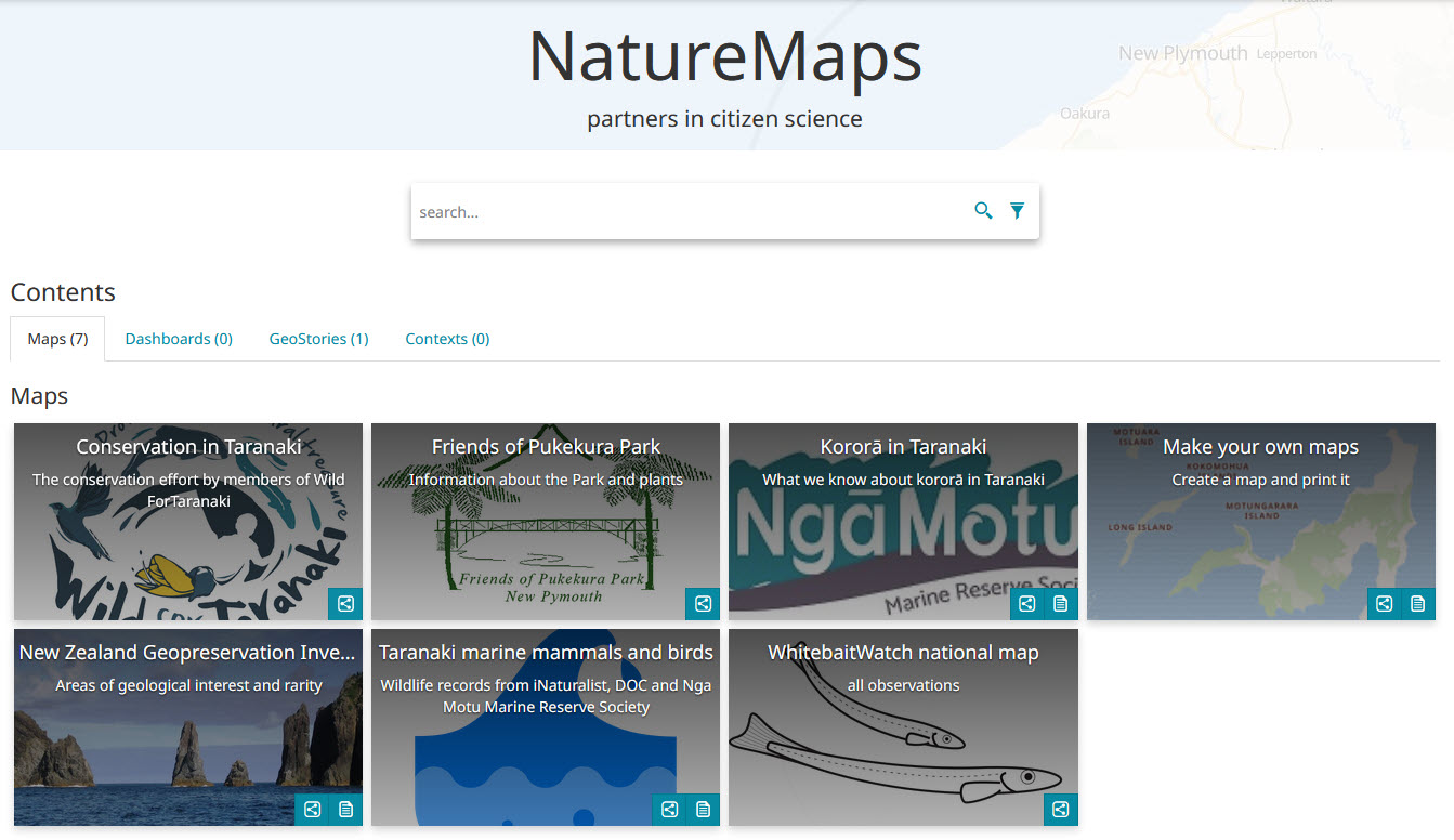
Mapping Community Data
Community Mapping with Geographic Information Systems (GIS)
Over the past few years we have been exploring ways to use Free Open Source Software products for mapping natural resource data of interest to the community - in a cost effective way. Many of these projects have used a ‘Mapping the Coast’ theme to trial new ways of collecting and sharing information.

Online GIS maps are great for visualising different layers of informationwhich can include various ways to display observations and the results of spatial analyses. All of the layers can be turned on or off as the viewer wishes .. which makes GIS maps very interactive and good for 'exploring' data! See some examples below.
Working with threatened species
We are working with Project Hotspot in partnership with Nga Motu Marine Reserve Society and TRC to provide data on four different coastal species. For each species a national monitoring project has been set up on the iNaturalist platform that provides a convenient way to enter and store observations online. We then map the observations to help understand where these species are found, what they are doing, and what sort of threats they may face.
The map below is from the Reef Heron project. It shows where Reef Herons have been seen (dots), but also some analysis - in this case a 'heatmap' that visualises where the most birds have been observed. The data can also be interrogated - e.g. what was each bird doing? How many observations were made in the last year?
Click on the map to use the tools and change the layers of information!
See the NZ national data for Korora / Little Blue Penguins
Kiwi records in Taranaki. This is an interactive map, so use your mouse to control it and zoom in or out, see the legend, or open the layer with historic records of kiwi (and when they were last seen in New Plymouth; Welbourne in 1978). Click here for help with using the map tools and layers.
Pests in the National Park The weasels (pale blue) are found above the North Egmont Visitors' Centre, and the hotspots with stoats (red circles)show where control is most required.

Previous page: What we do
Next page: Analysis